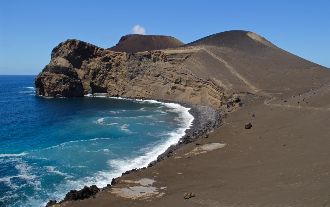
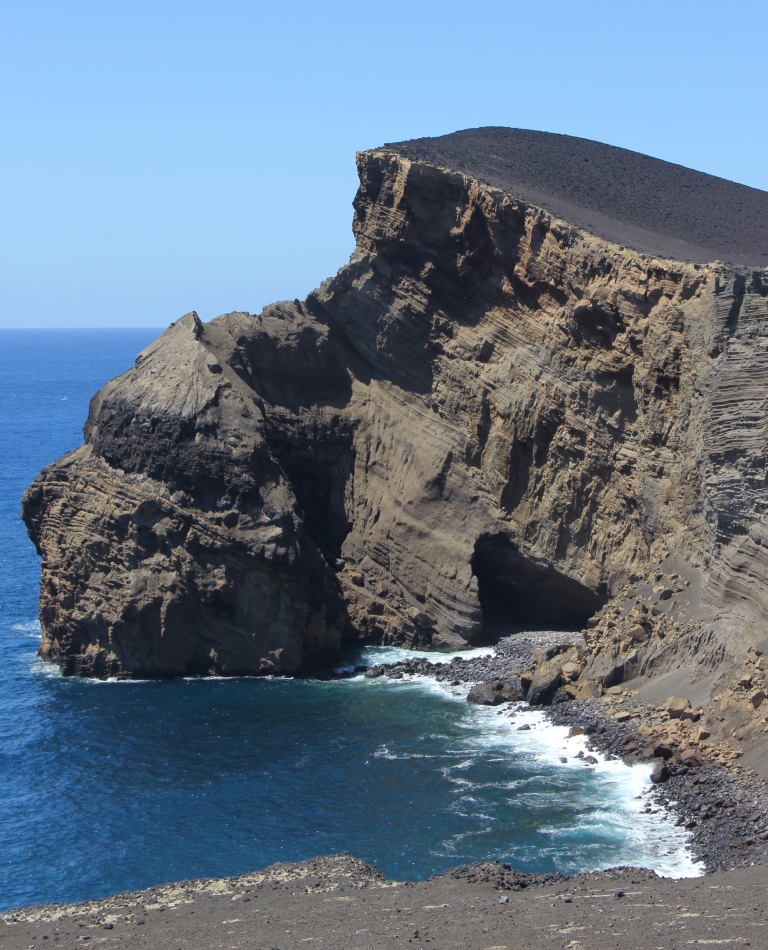
As soon as we arrive on the island of Faial we set off for Ponta dos Capelinhos, a barren rock desert that is proof of the most recent volcanic activities in the archipelago.
The eruption of the Capelinhos volcano in 1957 created the youngest landscape of the Azores. The Capelinhos eruption began on the 27th of September 1957 and lasted thirteen months. It brought huge physical changes to Faial, burying the lighthouse and increasing the size of the island.
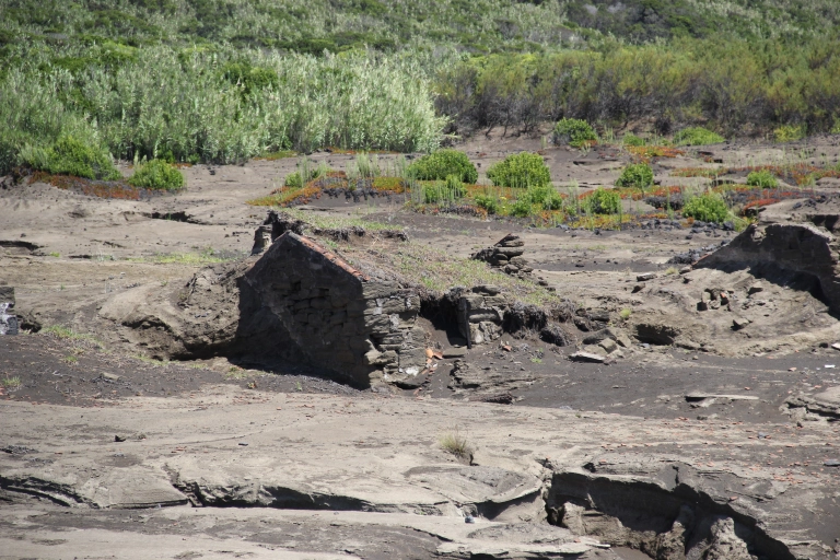
We make our way into the interpretation centre where we learn more about ‘the volcano that came from the sea’. The building is hidden under the volcanic sands, buried by the land level that was above the ground before the eruption.

The Capelinhos eruption started approximately 1 kilometre off the island of Faial, at low depths of between 20 and 60 metres below sea level. On the morning of the 27th of September 1957, the earth began to shake and a horrible smell began to stench across the island. By seven o’clock in the morning smoke billowed from Capelinhos and an hour later ash began to appear.
The submarine activity lasted around seven and a half months and was marked by a sequence of large explosions and the emission of black ash, along with a large column of water steam and volcanic gases. During the early stages of the eruption a small islet was formed however it submerged in October 1957. Some days later the volcanic activity resumed and a second islet appeared and also disappeared. In early November a third, larger island was created and connected to Faial island by an isthmus. This mound remained and later became known as Ponta dos Capelinhos.

In May 1958 the characteristics of the eruption changed from submarine to subaereal, due to the isolation of the eruptive centres from the sea, and was marked by a seismic crisis. This phase lasted around five months and was marked by a moderate explosive activity, with some effusive episodes in between. During this phase several basaltic lava flows with variable viscosity were extruded, of both ‘pahoehoe’ (‘lajidos’ or ‘lajes’) and ‘aa’ (‘biscoitos’) type. Basaltic pyroclasts of different shapes and sizes were thrust from the eruption and throughout the interpretation centre we can see samples of the lava bombs, blocks and lapilli that were collected.

A scoria cone was formed and the volcanic activity slowly decreased until it finally ended on the 24th of October 1958. The main cone produced by the eruption reached a height of 160 metres and the volume of extruded material was about 174 million square meters. It increased the island of Faial by 2.4 square kilometres however this area is now only 0.6 square kilometres due to intense erosion.

The eruption caused over 2,000 inhabitants of the island to lose their homes as they were buried under a thick blanket of ash. The natural disaster spurred the biggest emigration wave the island had ever experienced, with almost half the population leaving the archipelago, and brought a change in the law of emigration to the United States.

The ambiguously terrifying and fascinating phenomenon changed the people and the lands of the island. It plotted a new course in the history of Azoreans and in the international scientific panorama. The eruption also led to a better understanding on submarine volcanic activity.
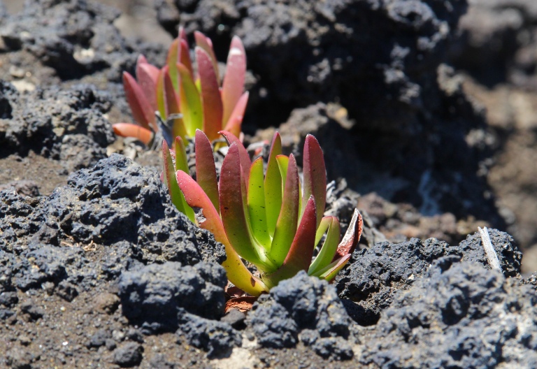
We leave the interpretation centre and walk towards the relatively new mound that is Dos Capelinhos. It is quite surreal to think that less than 60 years ago the land that we are walking on was submerged under the ocean. As we climb the hill we can see that vegetation is beginning to take hold and here and there green sprouts can be seen growing out of the black sand and rock.

SOURCES:
- Information provided by the museum
- https://gsc350.wikispaces.com/Capelinhos+volcano+in+the+Azores
- https://parquesnaturais.azores.gov.pt/en/faial-eng/what-visit/interpretation-centres/capelinhos-volcano
- https://www.azores-islands.info/uk/places/faial/ponta-capelinhos.html


